
 Geographic Information System (GIS)
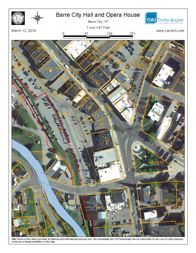
The link above will take you to the City of Barre’s Tax parcel mapping website. Users can choose what layers they would like to see, such as the current zoning districts, floodplain delineation, the City’s watersheds. Parcel data is updated often, but not every day. If you choose to use your map for official purposes, please call the Assessing office first to ensure accuracy.