Winooski River Basin Plan (Basin-8)
The 2018 Winooski River Tactical Basin Plan (TBP) and Appendices is a five-year water quality management plan. The Plan provides an overall assessment of the health of the Winooski River Basin and defines on-going and future actions and strategies to address high-priority stressors such as encroachment, stream channel erosion, land erosion, and pathogens. The plan also includes recommendations for protection of high-quality water resources in the basin.
State and federal resource agencies, watershed partner organizations, regional planning commissions and municipalities assist the Agency of Natural Resources with the development and implementation of the plan.
The Plan also includes the Phase II content (Chapter 3) for the Lake Champlain Phosphorus Total Maximum Daily Load (TMDL), including setting targets for phosphorus loading from the Winooski River to Lake Champlain. The Phase II content includes high-resolution phosphorus load modeling and projected phosphorus reductions for smaller sub-watershed as well as by types of sources (wastewater treatment plant, developed lands stormwater, roads, forestry and agricultural). The TMDL as well as the associated Phase I Implementation Plan both point to issuance of this plan as a component of the accountability framework.
The central component of the Tactical Basin Plan is an implementation table summary with targeted actions to protect high-quality waters and to address the water quality issues in the watershed. Individual projects are included in the VT Watershed Projects Database (WPD).
The Winooski River begins in the Town of Cabot and flows 90 miles to Lake Champlain. Draining approximately 1,080 square miles, the Winooski River watershed encompasses all of Washington County, about half of Chittenden County, and portions of Lamoille and Orange Counties. The 7 major tributaries of the Winooski River are the Little River, Kingsbury Branch, North Branch, Stevens Branch, Dog River, Mad River, and Huntington River.
Map of the Winooski River Basin (click for a pdf printable file).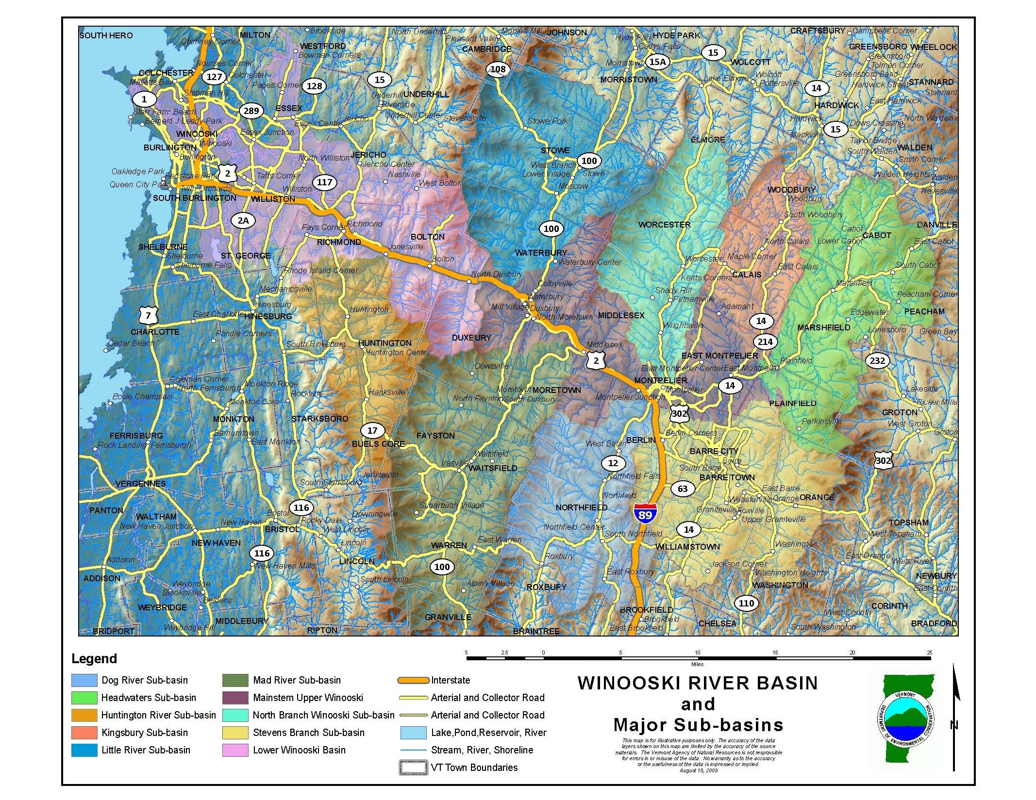
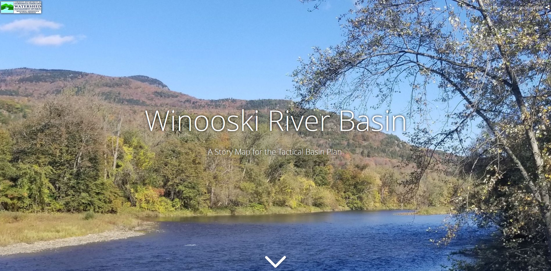
Winooski River Basin Plan Story Map. A Story Map is an immersive story that combines text, interactive maps and other multimedia content that transforms digital storytelling of a project. Click on the picture below, and it will take you to the Story Map.
The Report on the Winooski River watershed is a compilation of information and data gleaned from numerous sources. The information comes from state agencies, especially the Vermont Agency of Natural Resources (ANR) Department of Environmental Conservation Watershed Management Division but also from the Waste Management Division and ANR Department of Fish and Wildlife. Ther is also information from watershed organizations, lay monitoring groups, and environmental consultants.